Sets the active geometry column of a simple feature (sf) object to a
specified column, designed for use in data processing pipelines (e.g., with
%>%). Ensures spatial operations use the correct geometry column.
Note
The geometry_column must be an existing sfc column in sf_object.
Use with caution to avoid overwriting the active geometry unintentionally.
Examples
load_packages(sf, dplyr, ggplot2)
# example data with multiple geometry columns
nc <- sf::st_read(
dsn = system.file("shape/nc.shp", package = "sf"), quiet = TRUE) %>%
dplyr::select(AREA)
# add a new geometry column
nc$centroid <- sf::st_centroid(st_geometry(nc))
nc
#> Simple feature collection with 100 features and 1 field
#> Active geometry column: geometry
#> Geometry type: MULTIPOLYGON
#> Dimension: XY
#> Bounding box: xmin: -84.32385 ymin: 33.88199 xmax: -75.45698 ymax: 36.58965
#> Geodetic CRS: NAD27
#> First 10 features:
#> AREA geometry centroid
#> 1 0.114 MULTIPOLYGON (((-81.47276 3... POINT (-81.49823 36.4314)
#> 2 0.061 MULTIPOLYGON (((-81.23989 3... POINT (-81.12513 36.49111)
#> 3 0.143 MULTIPOLYGON (((-80.45634 3... POINT (-80.68573 36.41252)
#> 4 0.070 MULTIPOLYGON (((-76.00897 3... POINT (-76.02719 36.40714)
#> 5 0.153 MULTIPOLYGON (((-77.21767 3... POINT (-77.41046 36.42236)
#> 6 0.097 MULTIPOLYGON (((-76.74506 3... POINT (-76.99472 36.36142)
#> 7 0.062 MULTIPOLYGON (((-76.00897 3... POINT (-76.23402 36.40122)
#> 8 0.091 MULTIPOLYGON (((-76.56251 3... POINT (-76.70446 36.44428)
#> 9 0.118 MULTIPOLYGON (((-78.30876 3... POINT (-78.11042 36.39693)
#> 10 0.124 MULTIPOLYGON (((-80.02567 3... POINT (-80.23429 36.40042)
# set centroid as active geometry in a pipeline
nc_modified <- set_geometry(nc, "centroid")
nc_modified
#> Simple feature collection with 100 features and 1 field
#> Active geometry column: centroid
#> Geometry type: POINT
#> Dimension: XY
#> Bounding box: xmin: -84.05986 ymin: 34.07671 xmax: -75.8095 ymax: 36.49111
#> Geodetic CRS: NAD27
#> First 10 features:
#> AREA geometry centroid
#> 1 0.114 MULTIPOLYGON (((-81.47276 3... POINT (-81.49823 36.4314)
#> 2 0.061 MULTIPOLYGON (((-81.23989 3... POINT (-81.12513 36.49111)
#> 3 0.143 MULTIPOLYGON (((-80.45634 3... POINT (-80.68573 36.41252)
#> 4 0.070 MULTIPOLYGON (((-76.00897 3... POINT (-76.02719 36.40714)
#> 5 0.153 MULTIPOLYGON (((-77.21767 3... POINT (-77.41046 36.42236)
#> 6 0.097 MULTIPOLYGON (((-76.74506 3... POINT (-76.99472 36.36142)
#> 7 0.062 MULTIPOLYGON (((-76.00897 3... POINT (-76.23402 36.40122)
#> 8 0.091 MULTIPOLYGON (((-76.56251 3... POINT (-76.70446 36.44428)
#> 9 0.118 MULTIPOLYGON (((-78.30876 3... POINT (-78.11042 36.39693)
#> 10 0.124 MULTIPOLYGON (((-80.02567 3... POINT (-80.23429 36.40042)
attr(nc, "sf_column")
#> [1] "geometry"
attr(nc_modified, "sf_column")
#> [1] "centroid"
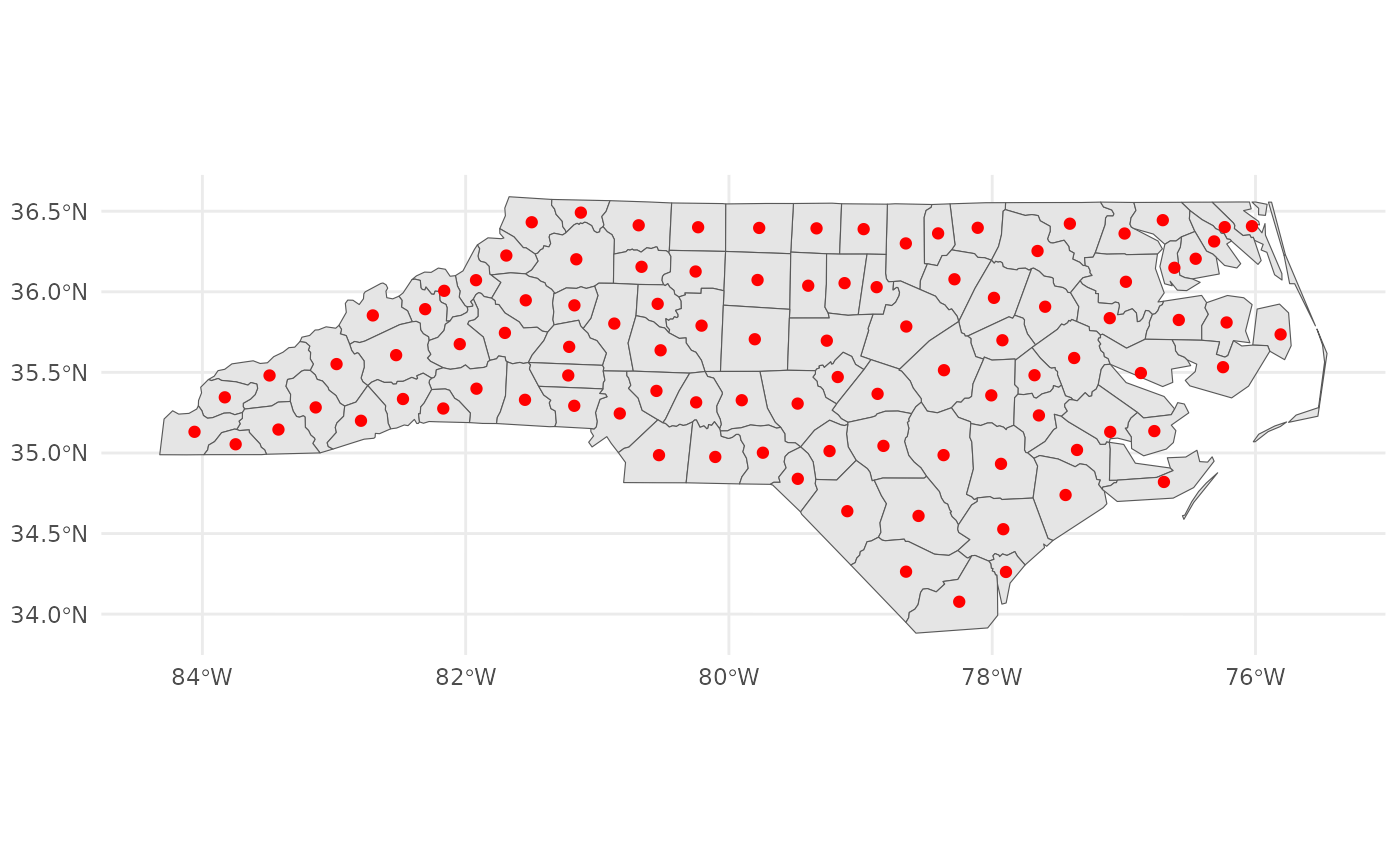
ggplot2::ggplot() +
ggplot2::geom_sf(data = nc, aes(fill = NULL)) +
ggplot2::geom_sf(data = nc_modified, colour = "red") +
ggplot2::theme_minimal()